Archives for category: Fires

ichoku_map_nigeria
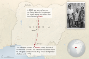
In 1968, Charles Ichoku was a skinny nine-year-old scouring the jungle in southern Nigeria—a refugee looking for his next meal. A bloody civil war had forced Ichoku’s family to flee their home in Zaria, a city in northern Nigeria, for Nawfia, a village in the south where his parents were born and raised.

For three years, Ichoku, his parents, and five brothers and sisters holed up in remote schools that had been converted into refugee camps. The forest cover around the camps and villages was dense enough to ward off advancing ground troops; it did not necessarily deter aircraft or missiles. Life was strange. Schools were closed; food was almost always scarce.

In the midst of war, Ichoku took solace in the natural world. “I was attracted to the order I found in nature,” he said. “Things fit together in a way that made sense.”

Nearly 50 years later, Ichoku still finds himself looking for order and sense in nature, though for very different reasons and from a very different perspective. As a senior scientist at NASA’s Goddard Space Flight Center, Ichoku uses satellites to study fires. His latest project has brought him back to the region where he grew up, a place where more fires burn per square kilometer than virtually anywhere on Earth.

Read the full story at
NASA Earth Observatory, August 2016

Siberia Burns

Siberia Burns

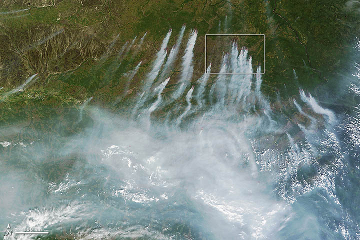
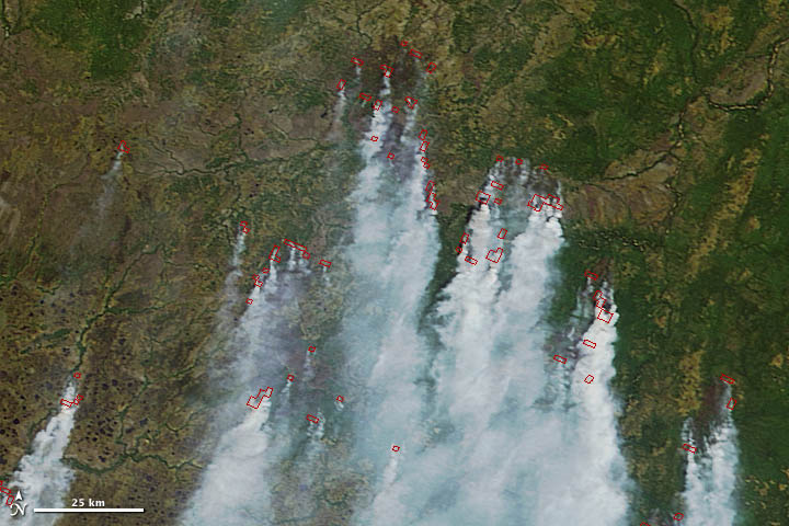
On June 18, 2012, a total of 198 wildfires burned across Russia and had charred an area that covered 8,330 hectares (32 square miles). Many were in central Russia, where firefighters have battled uncontrolled fires for months.

The latest flare-up prompted Russian authorities to declare a state of emergency in seven regions, including the Khanty-Mansiisk autonomous area, the Tyva Republic, the Sakha Republic, Krasnoyarsk, Amur, Zabaikalsky, and Sakhalin.

Read full story at:

Earth Observatory, June 2012

Wheat Fires in China

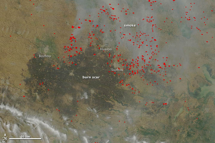
In mid-June, agricultural fires and industrial pollution combined to leave a thick pall of haze over central China. The Moderate Resolution Imaging Spectroradiometer (MODIS) on NASA’s Terra satellite captured these true-color (top) and false-color (bottom) images of the fires and haze. Both images were acquired at 10:55 a.m. local time (02:55 UTC) on June 13, 2012.

Smoke and actively burning fires (shown with red outlines) are visible in the true-color image, as well as a large burn scar. The false-color image reveals details of the burn scar that aren’t readily apparent in the true-color view. Although the burn scar looks uniform, the false-color view indicates that numerous fields with unburned vegetation (shown as green) are scattered throughout the area. The cities of Bozhou, Huaibei, and Suzhou, which appear as gray patches, were the closest cities to actively-burning fires when Terra acquired the images.

Read full story:

Earth Observatory, June 2012